Skip to main content
The American Presidency Project
About
Search
Toggle navigation
Documents
Guidebook
Category Attributes
Statistics
Media Archive
Presidents
Analyses
GIVE
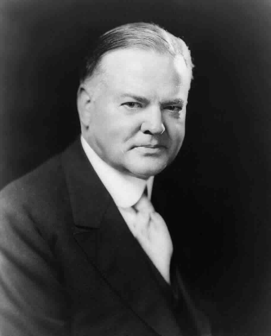
Herbert Hoover
Dates In Office:
March 04, 1929
to
March 04, 1933
Age in Office:
54
Birth - Death:
August 10, 1874
to
October 20, 1964
Party:
Republican
Location Born:
Iowa
Office:
Secretary of Commerce
Religion:
Quaker
More Resources
HERBERT HOOVER EVENT TIMELINE
FIRST LADY LOU HOOVER
HERBERT HOOVER PRESIDENTIAL SITES AND ORGANIZATIONS
Hoover Presidential Library and Museum, Birthplace, West Branch, IA
Hoover Presidential Foundation
Herbert Hoover National Historic Site West Branch, IA
Herbert Hoover Rapidan Camp at Shenandoah National Park, VA
The Hoover Institution
BIOGRAPHIES OF HERBERT HOOVER
Herbert Hoover Biography by the Editors of Encyclopedia Britannica
Herbert Hoover Biography by David E. Hamilton
Related Documents
Search all documents
June 14, 1928
Message Accepting the Republican Presidential Nomination
August 11, 1928
Address Accepting the Republican Presidential Nomination in Stanford, California
August 21, 1928
Campaign Address in West Branch, Iowa
September 17, 1928
Campaign Address in Newark, New Jersey
October 06, 1928
Campaign Address in Elizabethton, Tennessee
October 15, 1928
Campaign Address in Boston, Massachusetts
October 22, 1928
Campaign Address in New York City
November 02, 1928
Campaign Address in St. Louis, Missouri
November 05, 1928
Radio Address to the Nation From Palo Alto, California
November 06, 1928
Remarks to Stanford University Students After Hearing of Election Victory
November 07, 1928
Message to the American People After the Election Victory
November 07, 1928
Response to a Congratulatory Telegram from Al Smith
November 14, 1928
Statement to the South Pledging Equal Treatment to All Sections of the Country
November 26, 1928
Remarks in Cutuco, El Salvador
November 26, 1928
Remarks in Amapala, Honduras
November 27, 1928
Remarks in Corinto, Nicaragua
November 28, 1928
Remarks in in San Jose, Costa Rica
December 01, 1928
Remarks in in Guayaquil, Ecuador
December 05, 1928
Remarks in Lima, Peru
December 08, 1928
Remarks at Antofagasta, Chile
December 11, 1928
Remarks in in Santiago, Chile
December 14, 1928
Remarks in Buenos Aires, Argentina
December 17, 1928
Remarks at the Palace of the National Administrative Council of Uruguay in Montevideo
December 17, 1928
Remarks at the Parque Hotel in Montevideo, Uruguay
December 22, 1928
Remarks the Cattete Palace in Rio de Janeiro, Brazil
December 22, 1928
Address Before the Supreme Court of Brazil in Rio de Janeiro
December 22, 1928
Address Before the Brazilian Congress in Rio de Janeiro
January 28, 1929
Telegram to President Coolidge on Cruiser Legislation
March 04, 1929
Inaugural Address.
March 04, 1929
Herbert Hoover Event Timeline
March 05, 1929
The President's News Conference
March 06, 1929
Acknowledgment of Messages Congratulating the President on His Inauguration.
March 07, 1929
Proclamation 1870—Requesting an Extra Session of Congress on Agricultural Relief and Tariff Changes
March 07, 1929
Executive Order 5076—Designating Helen V. McLeod to Sign the Pressident's Name to Land Patents During the Absence of...
March 07, 1929
Executive Order 5077—Designating Viola B. Pugh to Sign the Pressident's Name to Land Patents
1
2
3
4
5
6
7
8
9
…
next ›
last »