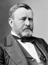
EXECUTIVE MANSION, December 23, 1873.
It is hereby ordered that the boundaries of the Snohomish or Tulalip Indian Reservation, in the Territory of Washington, provided for in the third article of the treaty with the Dwamish and other allied tribes of Indiana, concluded at Point Elliott, January 22, 1855 (Stats, at Large, vol. 12, p.928), shall be as follows, to wit: Beginning at low-water mark on the north shore of Steam-boat Slough at a point where the section line between sections 32 and 33 of township 30 north, range 5 east, intersects the same; thence north on the line between sections 32 and 33, 28 and 29, 20 and 21, 16 and 17, 8 and 9, and 4 and 5, to the township line between townships 30 and 31; thence west on said township line to low-water mark on the shore of Port Susan; thence southeasterly with the line of low-water mark along said shore and the shores of Tulalip Bay and Port Gardner, with all the meanders thereof, and across the mouth of Ebev’s Slough to the place of beginning.
U. S. GRANT.
SOURCE: Kappler, Indian Affairs, Laws and Treaties, US GPO, 1904, p 925-926
Ulysses S. Grant, Executive Order—Defining Boundaries for Tulalip Indian Reservation Online by Gerhard Peters and John T. Woolley, The American Presidency Project https://www.presidency.ucsb.edu/node/372632

